Argelès-sur-Mer – Collioure – Port-Vendres
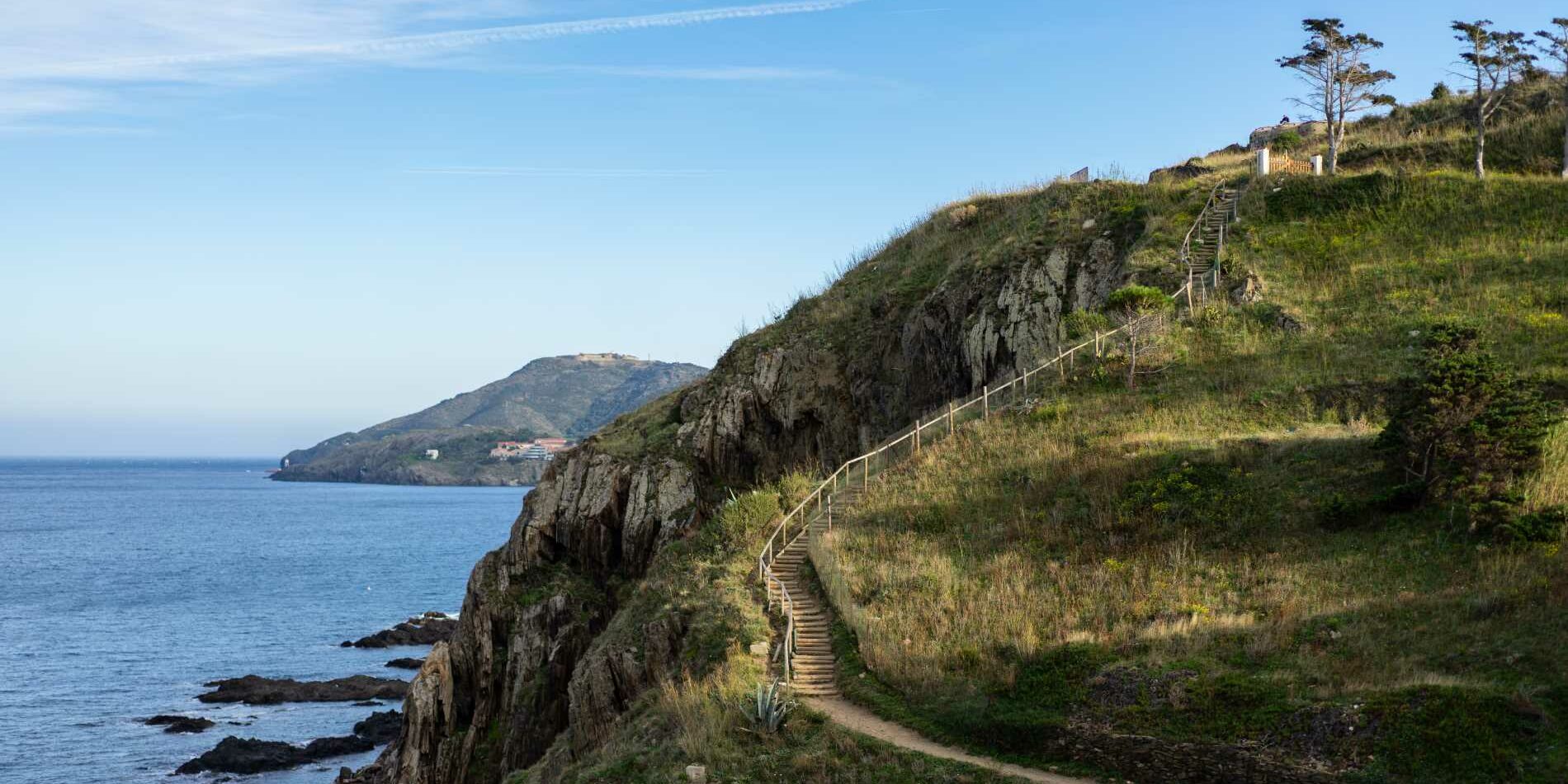
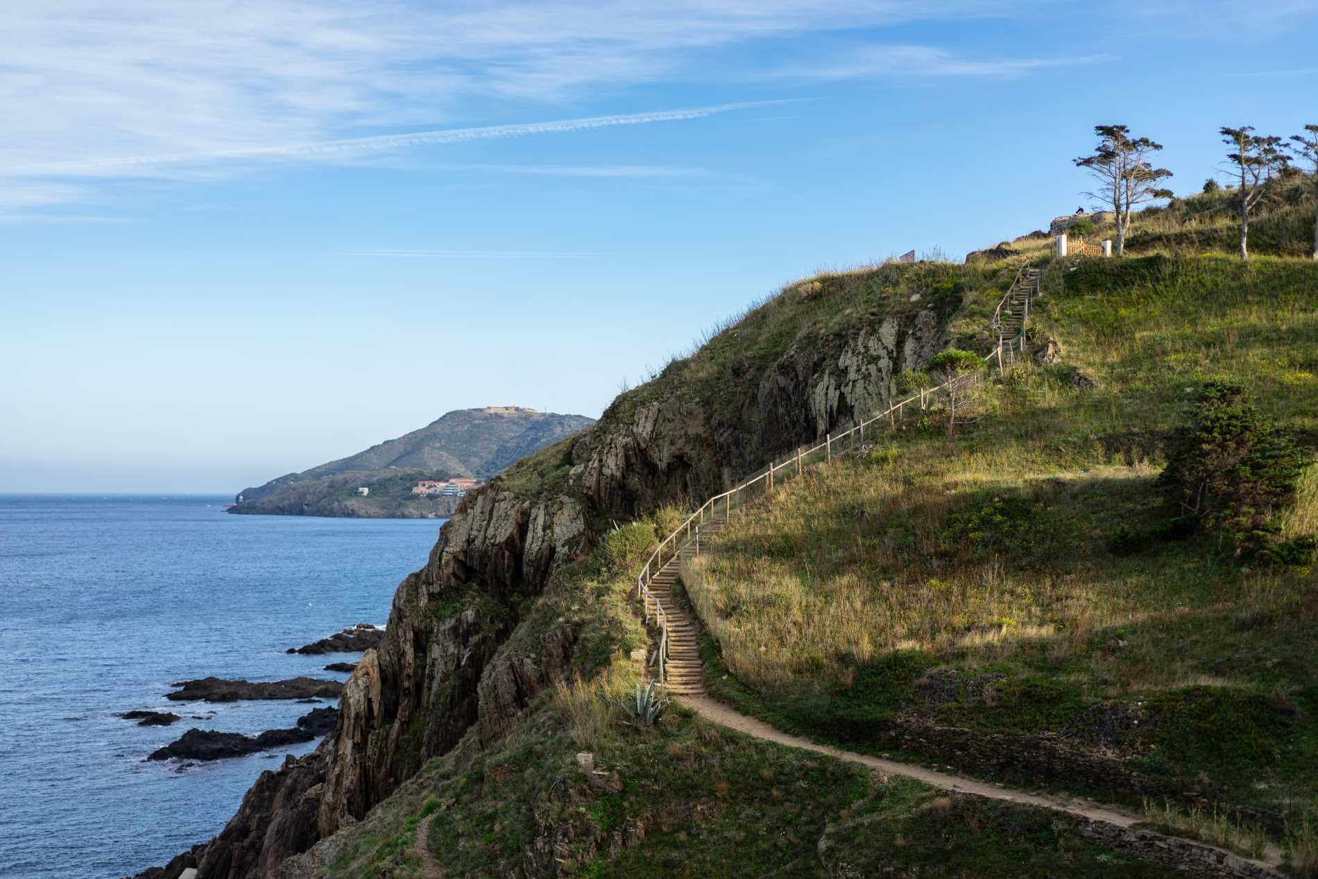
Between the Racou (municipality d’Argelès-sur-Mer), Collioure and Port-Vendres, from preserved creeks to fortified cities, the coastal path leads to the discovery of the Vermeille coast.
3 h / 10 km

LOCATION
The Racou, at 3 km au south-east of ’Argelès-sur-Mer by D114 & D81

PARKING
“La Sardane” at Le Racou
> for the return from Port-Vendres, use the 1 € bus

TO DISCOVER ON THE WAY
Racou Beach, preserved creeks, villages of Collioure & Port-Vendres, royal castle, view on fort Saint-Elme and the oil mill of Collioure


HERITAGE
From the royal city to te seaside resort
Given its strategic position, at the foot the Albères mountains, Argelès-sur-Mer benefited as from the middle ages of a particular status. Here no little lords. Until the Revolution, the different dynasties that ruled the territory (counts-king of Barcelone, king of Majorque, of spain then France) have all chosen to exercise direct authority over the city. Hence its title of « royal city ». At the time, the main interest of Argelès was due to its role of lock on a major commercial axis. The waterfront was still a swamp. The seaside resort will come out of the ground only from 1860, following the plantation of the Pine wood, which allowed to clean up the littoral.
MARKING
Yellow
DIFFICULTIES
Several creeks and the sea wall at the foot of the royal fort can be swept by waves in strong sea wind or east wind.
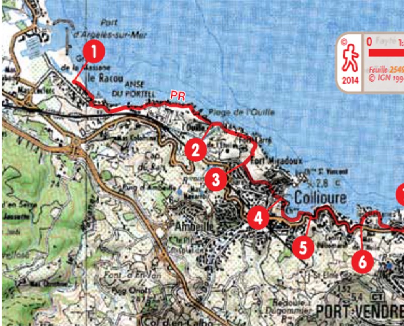
1 Facing the sea, turn right at almost the end of the beach, along the coastline. Gain a plot between two houses and climb the tarmac ramp to the left. At the top, follow the markup. The route then evolves into a cornice, with a series of climbs and descents of stairs, then along the enclosure of a campsite.
2 From the campsite, at the exit turn immediately left. Follow the path towards the beach Ouille.
3 Take the street Pla de las Fourques, down to the center of Collioure. At the roundabout, go in front, into street J. Ferry (on the left), then immediately right, Street Berthelot. Get to the docks. Then left until reaching a footbridge. Possibility of a brief return visit to the church and & bay..
4 Cross the footbridge and take the dike that passes at the foot of the Royal castle (view on the fort Saint- Elme & the oil mill). Along the coastline of the cove of la Balette.
5 After the International diving center, take the stairs close to restaurant La Balette. Follow the road on the left (left pavement) until the area of Pla de l’Oli.
6 From the square, down towards a creek & residencies. Follow the marking in the streets (passing under an arch). At the exit, a concrete ramp brings back to the road ; follow it to a roundabout. Head left towards the Mauresque.
7 At la Mauresque entrance, take the path that climbs above the establishment , bypasses a small fort, first to the left then to the right. The markup leads to an old battery, on a promontory. Some ruins testify of the presence of the original port of Port-Vendres.
8 Get down in the cove de la Mauresque before climbing up the hill. At the top go down to the port area. By a street on the right, reach the docks of Port-Vendres, puis la place de l’Obélisque (9).


